What this is
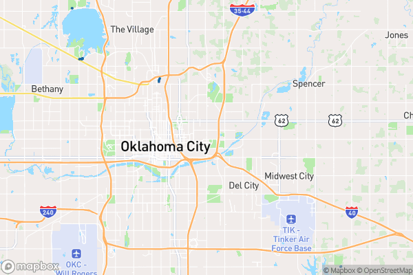
The city’s current bike routes — including trail names, types, and status — mapped across Oklahoma City.
Why it matters to you
If you’re choosing where to live, work, or start a business, the bike network is a hidden amenity: routes connect parks, neighborhoods, and downtown, and Trail Type tells you whether you’re on a shared street, a dedicated lane, or an off-road trail. For commuters, the Status field separates what’s rideable today from what’s still being built — the difference between a pleasant 15-minute ride and a surprise dead-end.
How to read this data
- Trail Name — the route’s name, if it has one. Named trails are usually the marquee routes with real investment behind them.
- Trail Type — what kind of facility it is. This determines who it’s comfortable for: a family on cruisers vs. a commuter on a road bike.
- Status — current state (planned, under construction, or open). The catalog notes there can be a delay between completion and appearing here.
Try it yourself
Plot a ride from your home to a destination you visit weekly using only routes marked open. Then look at what’s planned near you — that’s the network’s future, and public comments on those projects actually shape them.