Oklahoma City Open Data
Infrastructure
Index Grid
This dataset tracks numbered grid squares (about 1 mile wide) used by Oklahoma City’s fire department to organize the city into sections
Source city: Oklahoma City · Catalog date: June 9, 2026 · License: custom
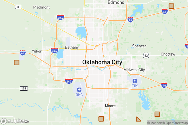
What this is
This dataset tracks numbered grid squares (about 1 mile wide) used by Oklahoma City’s fire department to organize the city into sections.
Why it matters to you
Emergency responders use these grid numbers to coordinate calls and track incident locations. While most residents won’t need this daily, knowing your grid helps if you’re reporting a fire or major emergency—dispatchers may ask for it to pinpoint your area faster. Neighborhood groups or businesses planning safety drills might also use these grids to align with city response protocols.
How to read this data
- Fire Index Grid: The number assigned to your ~1-square-mile section of the city (e.g., “Grid 42”).
- Shape/Area: Technical geographic details (like boundary lines and size) used for mapping systems.
Where this leaves you
This data doesn’t let you look up your grid by typing in an address here—you’d need a separate city map or tool to match your location to a grid number.
The fields, explained
Pulled directly from the source catalog's published field definitions — not paraphrased.
| Field | What it means |
|---|
ObjectID | Numeric unique identifier with no special meaning |
Fire Index Grid | Numeric value for grid |
Shape | Geographic data in state plane coordinates (WKID 103512) |
Length | Approximate length of perimeter of feature in US feet |
Area | Approximate area of feature in US square feet |
From the source — real records
Unedited rows from Oklahoma City's published service, pulled when this site was built.
Look it up yourself
Everything on this page comes from the city's public open-data catalog. Anyone can download it — CSV, GeoJSON, KML, or the live service.
This explainer was written from the published catalog record. Always verify against the source dataset before relying on it for a decision.