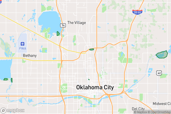
What this is
The official inventory of Oklahoma City’s regional, community, and neighborhood parks — where they are, what type they are, and how big.
Why it matters to you
Park data is a quiet quality-of-life ledger. Real estate agents use it to price neighborhoods; city planners use it to find “park deserts” — areas with no green space within walking distance; and families use it to answer “which park near me has the most room to run?” The Park Type field tells you what to expect: a neighborhood park is your local green, a community park has more amenities, and a regional park is a destination.
How to read this data
- Park Type — the classification: regional, community, or neighborhood. This is the fastest read on what a park actually is.
- Park Acres — the size in acres. Compare this to the surrounding neighborhood’s density and you can start spotting which parts of town are park-rich and which aren’t.
- Park Address — where to find it, useful when the park name isn’t a street address.
Try it yourself
Find the park closest to your home and note its type and acreage. Now find the largest park in the city and the smallest — the gap between them tells you something about how Oklahoma City thinks about green space.