Oklahoma City Open Data
Infrastructure
Pedestrian Projects
A list of past, current, and future sidewalk and street projects focused on pedestrian safety in Oklahoma City
Source city: Oklahoma City · Catalog date: June 9, 2026 · License: custom
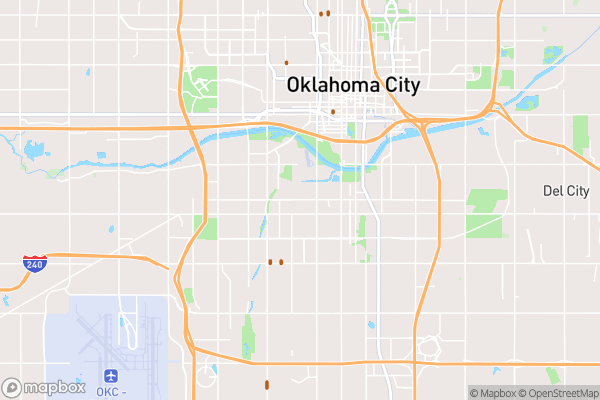
What this is
A list of past, current, and future sidewalk and street projects focused on pedestrian safety in Oklahoma City.
Why it matters to you
This data helps you see where walking infrastructure is being improved—or neglected—in your area. If you’re choosing a walking route to school, pushing for sidewalk repairs near your business, or advocating for safer crosswalks, this shows what projects are planned, underway, or already finished. Delayed projects might mean longer waits for safer streets.
How to read this data
Key fields to check:
- Project Name: Often includes the street name (e.g., “NW 23rd St Sidewalks”).
- Project Type: Tells you if it’s a sidewalk repair, new crossing signal, etc.
- Status: Reveals if work is “Completed,” “In Progress,” or “Planned.”
- Description: May specify exact blocks or intersections affected.
Where this leaves you
While you can’t look up projects by your exact address, scanning the full dataset (sorted by “Status”) helps spot trends—like whether your neighborhood has fewer completed projects than others.
The fields, explained
Pulled directly from the source catalog's published field definitions — not paraphrased.
| Field | What it means |
|---|
ObjectID | Numeric unique identifier with no special meaning |
Project Name | Name of project typically based on street or area |
Project Type | Type of project |
Funding Source | Primary sources of funding used for project |
Description | Additional information about location of project |
Status | Status of project |
Shape | Geographic data in state plane coordinates (WKID 103512) |
Length | Approximate length of feature in US feet |
From the source — real records
Unedited rows from Oklahoma City's published service, pulled when this site was built.
Look it up yourself
Everything on this page comes from the city's public open-data catalog. Anyone can download it — CSV, GeoJSON, KML, or the live service.
This explainer was written from the published catalog record. Always verify against the source dataset before relying on it for a decision.