A list of neighborhood plat names and their corresponding codes used in Oklahoma City
Source city: Oklahoma City · Catalog date: June 3, 2026 · License: custom
What this is
A list of neighborhood plat names and their corresponding codes used in Oklahoma City.
Why it matters to you
Plats are the official recorded maps of neighborhoods and subdivisions. This data helps when:
Checking property records to see which plat your home is in
Understanding which neighborhood rules might apply to your property
Researching historical development patterns in your area
How to read this data
Plat Code: A number assigned to each plat (like 12345)
Plat Name: The official recorded name of the neighborhood or subdivision (like “Maplewood Heights Addition”)
Where this leaves you
This dataset won’t tell you which plat contains a specific address, but it does provide the master list of all recognized neighborhood plats in the city. You’ll need to cross-reference with other property records to find your exact plat.
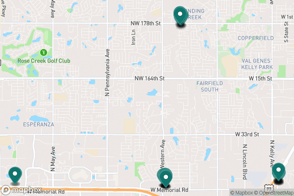
See it on a map
Markers at the dataset's published locations — click one for the record's details.
The fields, explained
Pulled directly from the source catalog's published field definitions — not paraphrased.
Field
What it means
ObjectID
Numeric unique identifier with no special meaning
Plat Code
Numeric number associated with plat
Plat Name
Name of plat
From the source — real records
Unedited rows from Oklahoma City's published service, pulled when this site was built.
GISID
ADDRESS
ADDRESS2
UNIT
STR_CODE
AD_LAYER
166016
600
E
827
1
166012
600
A
827
1
166013
600
B
827
1
166014
600
C
827
1
166015
600
D
827
1
166017
600
F
827
1
166018
600
G
827
1
166019
600
K
827
1
Look it up yourself
Everything on this page comes from the city's public open-data catalog. Anyone can download it — CSV, GeoJSON, KML, or the live service.