A collection of official construction records for roads, drainage systems, and storm sewers in Oklahoma City
Source city: Oklahoma City · Catalog date: July 28, 2026 · License: custom
What this is
A collection of official construction records for roads, drainage systems, and storm sewers in Oklahoma City.
Why it matters to you
These “as-built” documents show what was actually constructed (not just planned) for infrastructure near you. When a street floods repeatedly, these records help crews trace whether drains were built correctly. Before digging on your property, checking these can reveal hidden sewer lines. Developers use them to verify lot drainage meets code before building.
How to read this data
AsBuilt ID: A reference number linking to scanned construction plans (like “PW-2021-0456”)
AsBuilt Type: Labels the infrastructure type (e.g., “Paving”, “Storm Sewer”)
Description: May note project dates, contractors, or special features (like “24-inch reinforced concrete pipe”)
Where this leaves you
While you can’t look up records by address here, these documents exist for specific projects. Contact Public Works with a street name or project ID if you need construction details.
(Word count: 159)
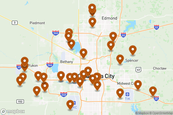
See it on a map
Markers at the dataset's published locations — click one for the record's details.
The fields, explained
Pulled directly from the source catalog's published field definitions — not paraphrased.
Field
What it means
ObjectID
Numeric unique identifier with no special meaning
AsBuilt ID
Alphanumeric id for related as-built documents
AsBuilt Type
Type of related as-built document
Description
Additional information related to document
Shape
Geographic data in state plane coordinates (WKID 103512)
From the source — real records
Unedited rows from Oklahoma City's published service, pulled when this site was built.
AsBuiltID
AsBuiltType
AsBuiltDescription
BC-0042
BC - Private Bridge
BC-0053
BC-0054
BC-0061
BC-0083 Set 1
BC-0089
BC-0086
BC-0087
Look it up yourself
Everything on this page comes from the city's public open-data catalog. Anyone can download it — CSV, GeoJSON, KML, or the live service.