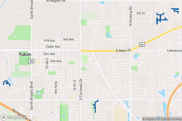
What this is
Every sidewalk maintained by the City of Oklahoma City, mapped with its funding source where known.
Why it matters to you
Sidewalks are the most used piece of city infrastructure you never think about — until one is missing. This dataset shows which sidewalks exist and, crucially, who paid for them. That funding field is the story of how OKC builds walkable neighborhoods: many newer sidewalks were paid for with GO Bond money, which means they were voted on by residents like you. If a sidewalk gap is breaking up your walk to school or the bus stop, this map shows you’re not imagining it — the city’s own data confirms what’s missing.
How to read this data
- Sidewalk Funding — the funding source (GO Bond or other initiatives). The catalog is honest: this is generally only filled in for newer sidewalks, so an empty field doesn’t mean “no sidewalk” — it means “no funding record.”
- Length — the length of the sidewalk segment in feet. Chain segments together to measure a whole route.
Try it yourself
Trace the route from your home to the nearest school or bus stop on the sidewalk map. Count the gaps. If you find one, that’s a specific, data-backed request you can take to your council member — city decisions run on documented needs, and this dataset is the documentation.