What this is
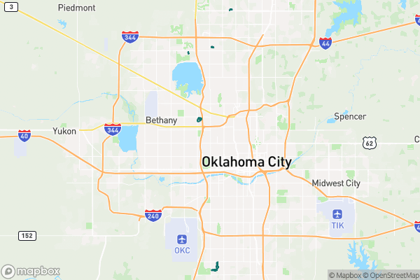
The base zoning map of Oklahoma City: every parcel carries a zoning classification (like R-1 or C-3) that sets the rules for what can be built there. This dataset updates daily.
Why it matters to you
Zoning is why you can’t open a barbershop in a house on a residential street, and why your neighbor can’t pave their front yard for a parking lot. Before you buy a property, lease a space, or even plan a big remodel, the zoning class tells you what’s allowed by right. “Straight” zoning is the base layer — separate from the overlay districts and special-use rules that stack on top of it.
How to read this data
- Zoning Class — the abbreviated code (e.g., R-1 for single-family residential, C-3 for heavy commercial). The code is a compact rulebook: the first letter is the broad category (Residential, Commercial, Industrial) and the number refines it.
- Case Number — if the area was rezoned, this is the planning case that did it. Look the case up to read the history of why a piece of land changed.
Try it yourself
Find your own address’s zoning class and decode it: what letter does it start with, and what does that allow? Then find a parcel zoned differently one street over — that’s the urban fabric changing, one case number at a time.