Oklahoma City Open Data
Infrastructure
Waterbodies
This dataset shows the locations of lakes, ponds, and other waterbodies in Oklahoma City
Source city: Oklahoma City · Catalog date: June 10, 2026 · License: custom
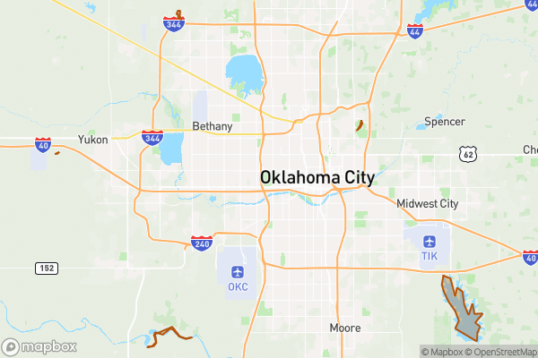
What this is
This dataset shows the locations of lakes, ponds, and other waterbodies in Oklahoma City.
Why it matters to you
Knowing where waterbodies are helps with decisions like flood risk when buying property, planning recreational activities, or understanding local wildlife habitats. For example, if you’re considering a home near a pond, this data helps you check for potential drainage issues or mosquito control needs.
How to read this data
- Name: The official name of the waterbody (if it has one).
- Type: What kind of waterbody it is (lake, pond, etc.).
- Area: Size in square feet—useful for comparing different waterbodies.
- Length: The distance around the waterbody’s edge in feet.
Where this leaves you
This data doesn’t let you search by address, but you can still explore waterbody locations on a map to see what’s nearby.
The fields, explained
Pulled directly from the source catalog's published field definitions — not paraphrased.
| Field | What it means |
|---|
ObjectID | Numeric unique identifier with no special meaning |
Name | Name of waterbody (if any) |
Type | Type of waterbody |
Shape | Geographic data in state plane coordinates (WKID 103512) |
Area | Approximate area of ward in US square feet |
Length | Approximate length of perimeter of feature in US feet |
From the source — real records
Unedited rows from Oklahoma City's published service, pulled when this site was built.
Look it up yourself
Everything on this page comes from the city's public open-data catalog. Anyone can download it — CSV, GeoJSON, KML, or the live service.
This explainer was written from the published catalog record. Always verify against the source dataset before relying on it for a decision.