What this is
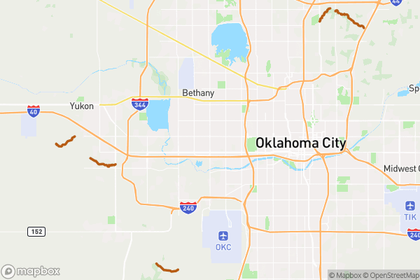
This dataset tracks the location of rivers, streams, and other waterways within Oklahoma City limits.
Why it matters to you
Waterways affect flood risk, property values, and development restrictions around your home or business. If you’re buying property, you need to know if it’s near a creek that could flood during heavy rains. Developers and contractors use this data to understand setback requirements — many cities require buildings to be a certain distance from streams. Insurance companies also consider proximity to waterways when setting flood insurance rates, which can significantly impact your monthly costs.
How to read this data
• Name — The official name of the waterway, like “North Canadian River” or “Cottonwood Creek” (some smaller streams may not have names) • Type — What kind of waterway it is (river, stream, creek, etc.) • Area — How much space the waterway covers, measured in square feet • Length — The distance around the waterway’s perimeter in feet
Where this leaves you
This dataset shows you where waterways are located but doesn’t let you search by your specific address to see what’s nearby. You’d need to browse the full map to spot waterways in your neighborhood.