A reference list of zoning codes and what they mean in Oklahoma City
Source city: Oklahoma City · Catalog date: June 3, 2026 · License: custom
What this is
A reference list of zoning codes and what they mean in Oklahoma City.
Why it matters to you
Zoning rules control what can be built where — whether you can open a coffee shop in your neighborhood, add an ADU to your property, or why the empty lot down the street stays vacant. This dataset helps decode the abbreviations you’ll see on zoning maps, permits, or property records.
How to read this data
Zoning Code: Short abbreviations like “R-1” or “C-3” (these appear on maps and permits)
Zoning Description: The full name of the zone (e.g., “Single-Family Residential”)
Zoning Definition: Plain-English rules for that zone (e.g., whether apartments or businesses are allowed)
Where this leaves you
This is a dictionary, not a map — it won’t show you what zone your address is in. To check zoning for a specific property, you’ll need to cross-reference with a zoning map or permit database.
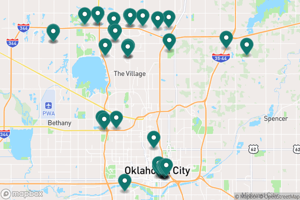
See it on a map
Markers at the dataset's published locations — click one for the record's details.
The fields, explained
Pulled directly from the source catalog's published field definitions — not paraphrased.
Field
What it means
ObjectID
Numeric unique identifier with no special meaning
Zoning Layer
Name of dataset that the record applies to
Zoning Code
Abbreviated zoning code
Zoning Description
Full zoning code
Zoning Definition
Definition of zoning code
From the source — real records
Unedited rows from Oklahoma City's published service, pulled when this site was built.
CODE
USERCODE
DESCRIPTION
ORDNUM
ABC-1
ABC-1-39
Restaurant with Limited Alcohol
ABC-3
ABC-3-172
Club with Alcohol
ABC-3
ABC-3-339
Club with Alcohol
ABC-1
ABC-1-126
Restaurant with Limited Alcohol
ABC-2
ABC-2-251
Restaurant with Alcohol
ABC-3
ABC-3-48
Club with Alcohol
ABC-1
ABC-1-326
Restaurant with Limited Alcohol
ABC-3
ABC-3-72
Club with Alcohol
Look it up yourself
Everything on this page comes from the city's public open-data catalog. Anyone can download it — CSV, GeoJSON, KML, or the live service.